Map
Daily sighting probability ~10% · With luck
at Aigüestortes National Park

In 3 days ~30% in a week ~60%

6 Verified sightings at Aigüestortes National Park From 2019 to 2026
348 In all 9 parks
May Best month
☀️ Diurnal When it's spotted

About the Map

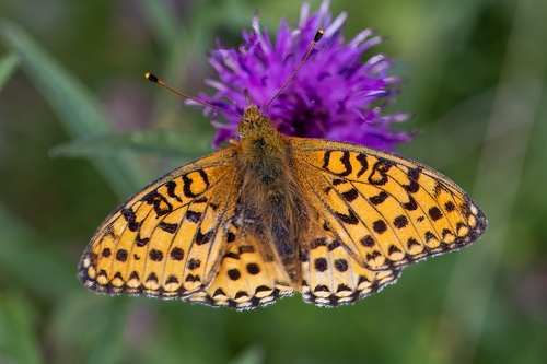
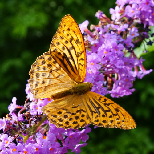
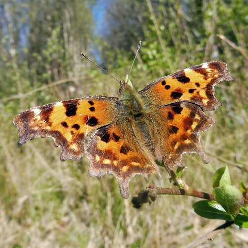
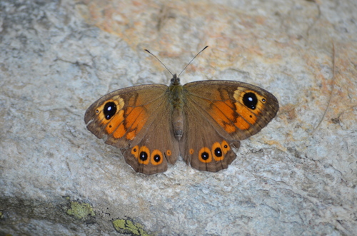
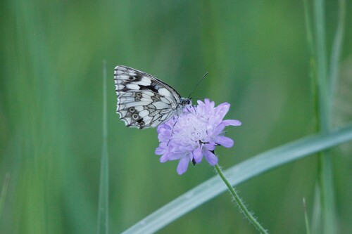
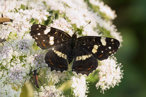
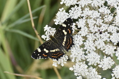
The map (Araschnia levana) is a butterfly of the family Nymphalidae. It is found from Spain through Europe and east through the Palearctic to Central Asia and the Russian Far East to Korea and Japan. The map exhibits seasonal dimorphism which means it has two different forms, depending on whether its larva grows in the summer or the winter. The summer form has black wings, while the winter form – adapted for diapause – has red wings. Before the butterfly was fully understood, these were thought to be two different species, with the summer form originally classified as A. prorsa. These are now referred to as morphs of A. levana, named levana and prorsa.

The area of distribution of the map extends from Spain through Europe and east through the Palearctic to Central Asia and the Russian Far East to Korea and Japan. Despite a temporary decline in individual regions of Europe, there has been a general increase within the populated areas for more than 100 years.

In Germany, the map was only locally represented until the 1930s, from the middle of the century it was already widespread and in places frequently encountered. In the second half... Wikipedia →
Global Distribution

Parks Where Found

# Park Country Daily sighting probability
1 Biebrza National Park 🇵🇱 Poland
~40%
2 Białowieża National Park 🇵🇱 Poland
~40%
3 Bavarian Forest National Park 🇩🇪 Germany
~30%
4 Gauja National Park 🇱🇻 Latvia
~20%
5 Tatra National Park 🇸🇰 Slovakia
~20%
6 Fertő-Hanság National Park 🇭🇺 Hungary
~20%
7 Aigüestortes National Park 🇪🇸 Spain
~10%
8 Pyrénées National Park 🇫🇷 France
~10%
9 Wadden Sea National Park 🇩🇪 Germany
<5%

Cities Where Found

# City Country Daily sighting probability
1 Prague 🇨🇿 Czechia
~10%
2 Amsterdam 🇳🇱 Netherlands
~10%
3 Warsaw 🇵🇱 Poland
~10%
4 Novosibirsk 🇷🇺 Russia
~10%
5 Brussels 🇧🇪 Belgium
~10%
6 Helsinki 🇫🇮 Finland
~10%
7 Munich 🇩🇪 Germany
~10%
8 Rotterdam [The Hague] 🇳🇱 Netherlands
<5%
9 Minsk 🇧🇾 Belarus
<5%
10 Nizhny Novgorod 🇷🇺 Russia
<5%

Before you go

What are the chances of seeing a Map in Aigüestortes National Park?

With luck

About 10% of wildlife watchers report a Map sighting in Aigüestortes National Park on a given day, based on 6 verified sightings from GBIF citizen-science data from 2019 to 2026. It is the 190th most-seen of the 256 insects we can rate there. Over three days the chance rises to about 30%, and over a week to about 60%, if each day is a fresh chance.

When is the best time to see a Map in Aigüestortes National Park?

May and July

In those months about 20% of wildlife watchers report a Map in Aigüestortes National Park on a given day, against under 5% in June and September–April, the lowest months.

What time of day is best to see a Map?

Between 11 am and 2 pm

Across all the parks we cover, that three-hour window holds the most Map sightings with a recorded time, and nearly all of them come between 6 am and 6 pm: it is a daytime animal.

Where does the Map sighting chance come from?

GBIF citizen-science records

It is estimated from how often the Map is recorded against all the insects logged in Aigüestortes National Park (6 verified sightings from 2019 to 2026), calibrated against known sighting rates. Figures are rounded to the nearest 10% because citizen-science data supports honest approximations, not decimals, and months with records from fewer than five people show "—". How it works.

← Back to Aigüestortes National Park